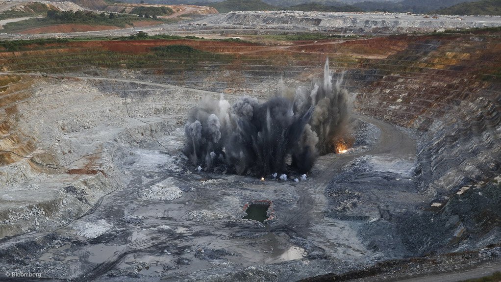
Employing a proactive blast design approach and new technology can be intimidating for mining companies, as this requires change, but they should keep an open mind as downstream improvements are a catalyst for financial value, says international blast engineering and consulting firm RA McClure president Robert McClure.
A proactive blast design approach ensures that the boreholes are placed in the optimum location. As irregularly shaped highwalls, toe, cavities, faults, seams and other geological conditions have a major influence on blast performance, RA McClure says a custom-designed blast pattern can address these problematic areas through strategic borehole placement and distribution of explosives.
The accuracy of a global positioning system (GPS), combined with three-dimensional (3D) profiling, advanced blast-design and drill navigation software, has for many years helped to eliminate a significant number of blasting inaccuracies that the mining industry has had to deal with.
“Overcoming blasting inaccuracies improves all the downstream processes, as well as safety, but technical support is essential for the integration of this technology into any operation,” stresses McClure.
He discussed the use of a drill-and-blast improvement programme, incorporating 3D photogrammetry, a GPS and a drill navigation system at the twenty-fourth annual Drilling and Blasting Conference held by explosives manufacturer and supplier BME earlier this month.
At the conference, hosted at the Council for Scientific and Industrial Research, in Pretoria, McClure cited a programme that was used on a greenfield quarry in south-eastern US last year. The site, initially established in 2011, is within the distinctive, north-east-trending Kiokee belt, which consists of relatively high-rank metamorphic rocks.
“The full value of the programme is seen downstream through improvements and efficiencies in excavation, haulage, crushing and reduced secondary blasting.”
McClure explained that blasting during quarry development generated high percentages of oversized material, highwall damage, inadequate floor control and poor fragmentation. The evaluation of the drill logs revealed numerous voids and fractures, believed to have impacted on the effectiveness of the explosives. Therefore, a drill-and-blast optimisation programme was deemed necessary to improve conditions at the quarry.
The programme introduced technology that was used to address specific blast performance issues that had a direct impact on safety and production, McClure added.
The first phase of the project consisted of using a two-dimensional laser profiler and an automated borehole logging system; however, this phase delivered limited success in reaching the initial production goals, requiring a more in-depth approach and a second phase.
Phase 2 included the use of a 3D photogrammetric profiling system with advanced blast design software, as well as a borehole survey system, to verify drilling accuracy.
Following the implementation of the 3D-profiling system and drilling verification, angled boreholes and a change of face orientation were implemented to improve highwall stability. As the project progressed, the mine also implemented GPS and drill navigation- assisted blast layout.
Automated borehole logs and unmanned aerial vehicles were also employed and, as the project was economically successful, expanding the use of the advanced technology implemented during the blasting programme was justified, McClure added.
He highlighted that a proactive drill-and-blast optimisation programme would generate a measurably positive impact on primary crusher throughput, reduce the need for secondary breakage, limit the production of fines and improve efficiencies in the loading and hauling of shot rock.
Further, using the 3D photogrammetric profiling system would enable the blast engineer to design an enhanced blast pattern, McClure said, noting that a well-designed pattern would ensure the accurate explosive distribution needed to provide the necessary energy to mitigate back-break and back-shatter into the highwall.
Additionally, using a survey-grade GPS and a drill navigation system eliminated the need for a conventional pattern layout on the bench.
The improved drill pattern can also be sent to the drill navigation system, whereby the drill can locate, navigate and set up for drilling on the accurate borehole coordinates without any additional assistance.
The GPS drill navigation combination further provided accurate and automated pattern layout, eliminating the conventional layout process and mitigating one of the big challenges in the field – attaining an accurate borehole pattern layout on the bench, McClure pointed out. Uneven terrain, large blasts, irregular patterns and adverse weather made it exceptionally difficult for the blaster to accurately mark the blast pattern for drilling on the bench when done conventionally, he added.
BME has been actively involved with RA McClure and software and measurement company 3GSM in the development and application of GPS, 3D photogrammetry, borehole survey and unmanned aerial vehicle technology for more than ten years.
Edited by: Tracy Hancock
Creamer Media Contributing Editor
EMAIL THIS ARTICLE SAVE THIS ARTICLE
To subscribe email subscriptions@creamermedia.co.za or click here
To advertise email advertising@creamermedia.co.za or click here


